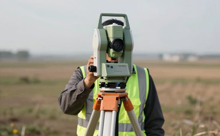
Serviços

A professional land surveyor operating a high-precision laser total station on a tripod in a vast landscape. The surveyor wears a modern safety vest with accents of #3D6B5E green. The lighting is crisp daylight, highlighting the precision and technical reliability of the equipment.
Topografia
  • Planialtimetria
  • Divisão de Áreas
  • Terraplenagem
  • Locação de Obras

Soluções em levantamento planialtimétrico e demarcação de divisas com suporte técnico para engenharia, garantindo a precisão total de seu projeto.
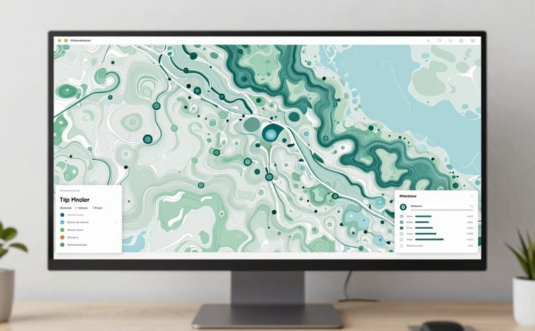
A top-down view of a professional desk featuring a large screen displaying a detailed cartographic map with topographic contours in #3D6B5E and #8FBBA1 colors. The workspace is clean and modern, reflecting expertise in digital mapping and geospatial data.
Cartografia
  • Mapas Temáticos
  • Plantas Cadastrais
  • Ortofotomosaicos
  • Vetorização Digital

Mapeamento sistemático e plantas técnicas de alta definição, integrando dados geoespaciais com clareza para planejamento urbano e rural eficiente.
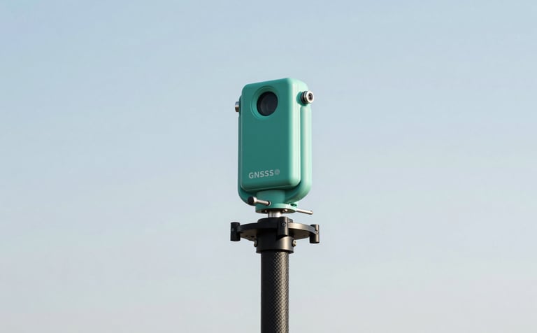
A high-precision GNSS receiver antenna mounted on a carbon fiber pole, standing against a crisp sky. The equipment is high-tech, symbolizing advanced geodetic positioning. Color accents include #3D6B5E and #8FBBA1.
Geodésia
  • Georreferenciamento Rural
  • Redes Geodésicas
  • Monitoramento de Estruturas

Execução de georreferenciamento de imóveis conforme normas do INCRA, utilizando tecnologia GNSS de ponta para resultados técnicos inquestionáveis.

Orçamentos

Projetos precisos e confiáveis em todo o Brasil.